


Get your free Travel Guide
A travel guide for Marion, Old Fort, Lake James, Linville Falls and Little Switzerland, NC.Book Your Stay
Find lodging in and around McDowell County for your vacation. Browse hotels, campsites, rentals, and more.Sign Up for Updates
Sign up for the Blue Ridge Travelers Newsletter to get updates on news and events in McDowell County.

Upcoming Events & Activities

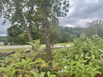

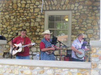
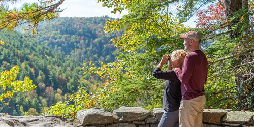
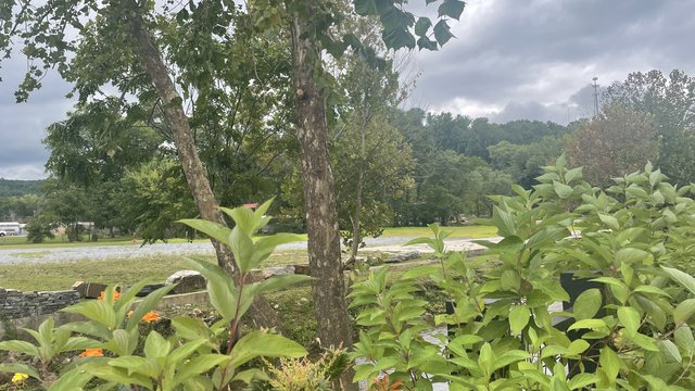
Experience the Blue Ridge
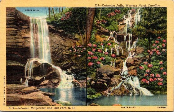
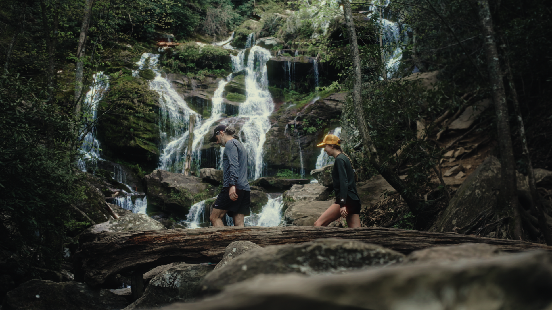
A Journey Through Time & Nature: Exploring the Reimagined Catawba Falls

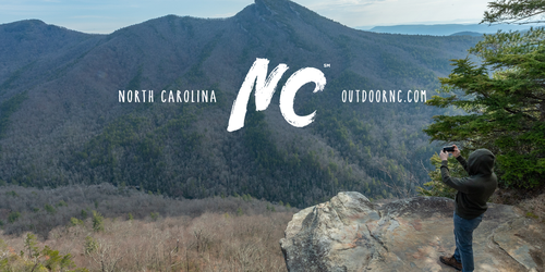
Join the Movement: McDowell Tourism TDA Joins Outdoor NC Alliance
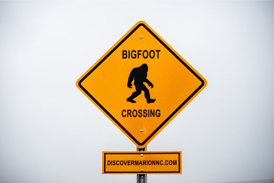
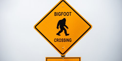
Mingle With Mystery at the WNC Bigfoot Festival
The mysterious creature known as Bigfoot — or Sasquatch — is reported to have wandered the mountains of Western North Carolina for years.
Read More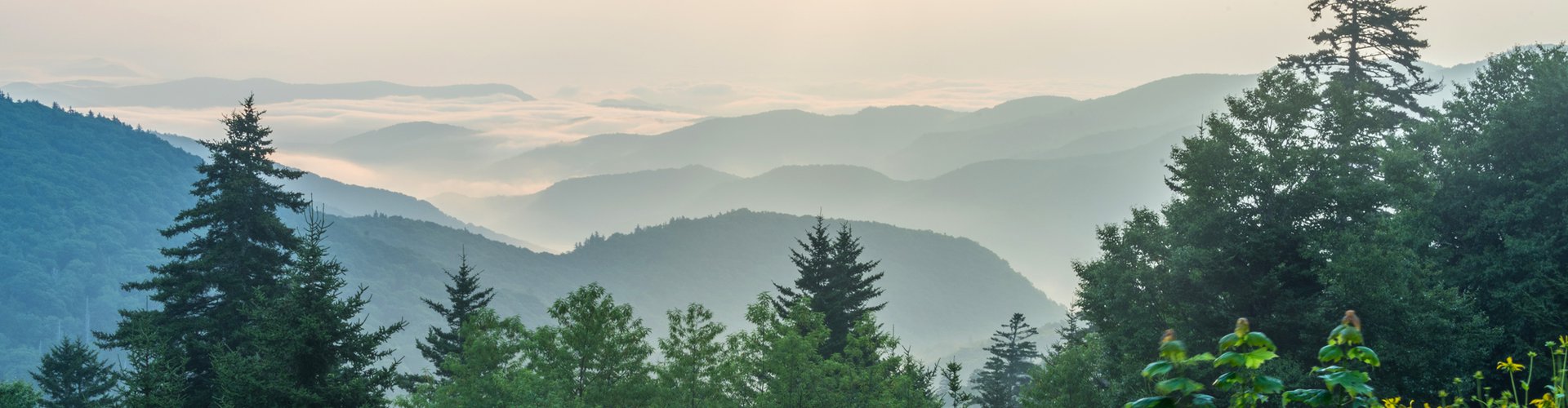
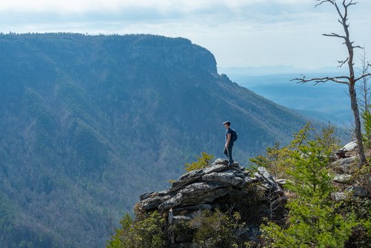
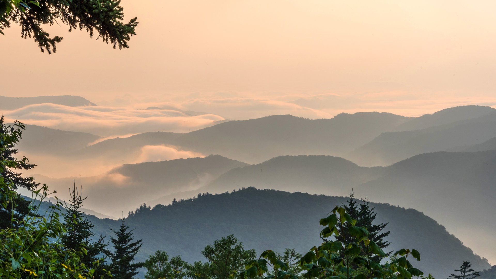
The Blue Ridge Parkway
Discover Little Switzerland, Linville Falls, The Orchard at Altapass, Crabtree Falls, and the spectacular views of America's Favorite Scenic Drive.
A Photographer's Dream →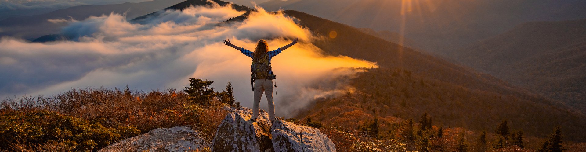
Pisgah First: Exploring the Oldest National Forest in the East
With hundreds of miles of trails for hiking, biking, and forest exploration, you're invited to come experience this region first-hand. The possibilities are endless.
Discover Something New →
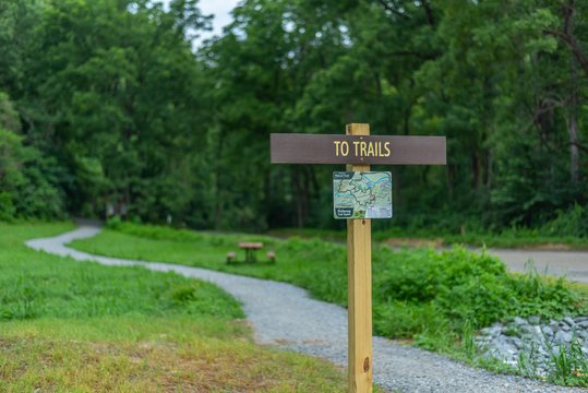
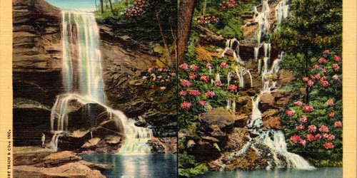
Waterfall Trails
Hike into Pisgah to find amazing waterfalls in a region with over 200 waterfall trails.
Western NC Waterfalls →Your Travel Guide To Little Switzerland, Lake James, Marion, Old Fort & Linville Falls
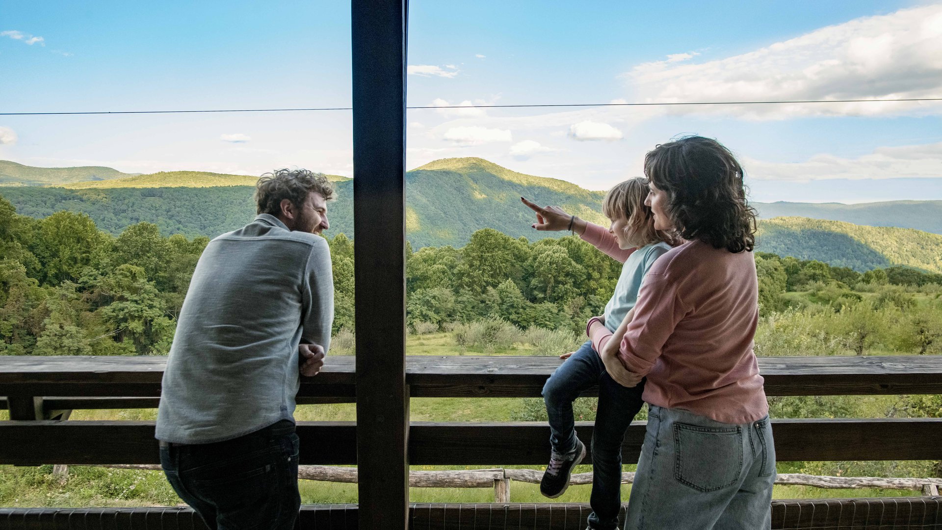
Welcome to the Blue Ridge Traveler's Towns and Trails! With beautiful weather, endless mountain views and countless ways to reconnect with the great outdoors, spring is the perfect time to plan your next vacation to the Blue Ridge Mountains of western North Carolina.
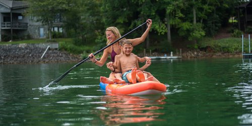
Check out our guides to top local hiking trails and breathtaking waterfalls. Keep an eye open for colorful native wildflowers as you explore the region. Take a drive on the scenic Blue Ridge Parkway to enjoy mountain vistas and stop by museums and historic attractions to immerse yourself in regional heritage. Cool off at Lake James State Park where you’ll find fun for all ages including hiking, kayaking, fishing, biking and a swimming beach.
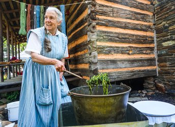
Imagine Blue Ridge life in a time gone by when you stop by the Historic Carson House, Emerald Village Museum, and Mountain Gateway Museum. Or try your luck at a historic local pastime — mining for gold.
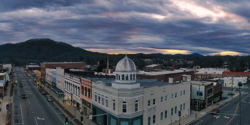
Stroll the charming small-town streets of Marion, Old Fort, Little Switzerland and the Linville Falls community, where you will encounter the craftsmanship of local artists in shops and galleries. Check out the events calendar for a full line-up of happenings throughout the season.
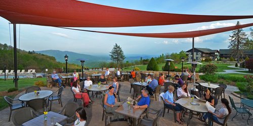
When it’s time for a bite, pull up a chair at one of our delicious local restaurants. From barbecue to bakeries, burritos to bubble tea, and plenty of scrumptious Southern fare, you’re sure to find the local flavor you’re looking for. Enjoy a pint of locally brewed beer at one of several craft breweries, and look for local wine, mead and spirits along our High Spirits Trail.
At the end of the day, choose from numerous lodging options ranging from rustic campgrounds and mountain cabins to lakeside vacation rentals and national brand hotels. Not sure where to start? Explore our three-day Blue Ridge Mountains itinerary that includes our favorite things to do — plus more to discover on your own!
Note: All images are property of the McDowell Tourism Authority or tourism partners and are not to be copied, duplicated, re-printed, or shared electronically.
Call +1 (888) 233-6111